శ్రీకాకుళం
Srikakulam
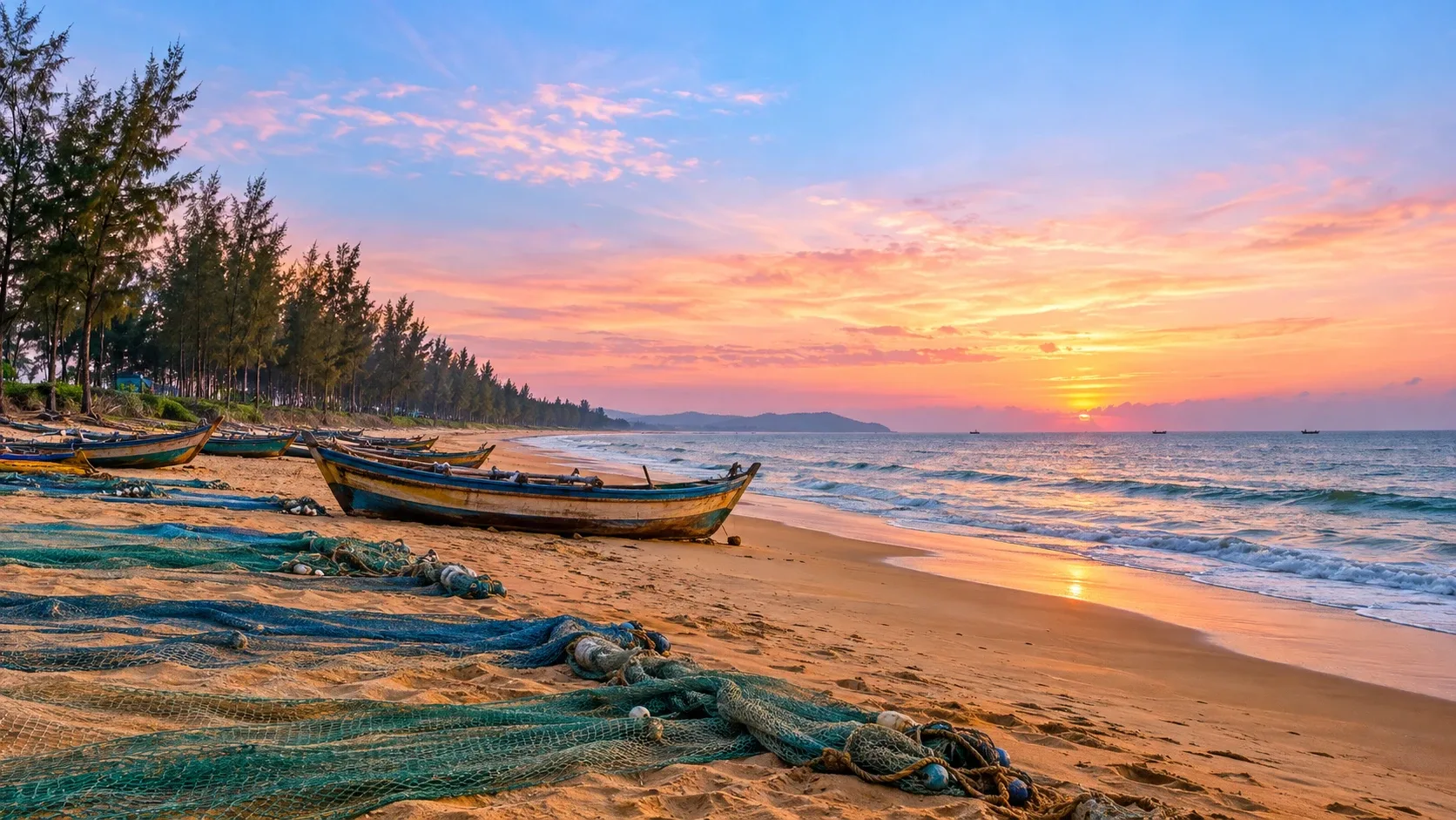
Andhra Pradesh's north-eastern district on the border with Odisha — a long coastline, farmland, and towns strung along the national highway.
- District
- Srikakulam
- Listed now
- 0 properties
Overview
Srikakulam is the north-easternmost district of Andhra Pradesh, bordering Odisha. The district headquarters, Srikakulam town, sits on the Nagavali river.
National Highway 16 runs the length of the district through towns such as Narasannapeta, Tekkali, Palasa and Ichchapuram. Palasa–Kasibugga is well known as a centre of cashew processing, and the district's coastline includes Kalingapatnam and Baruva.
Buying & renting here
Srikakulam is a market for people who know what they're looking for: families buying in their home town, owners selling inherited land, and buyers looking for agricultural land. Verifying revenue records and boundaries on the ground is essential.
Properties in Srikakulam
Nothing listed online in Srikakulam right now. Harini can tell you what’s available that isn’t listed yet.
Common questions
General information, not legal advice.
Does Harini Priya work in Srikakulam district?
Yes — Srikakulam town and the towns and mandals across the district.
What documents should I check before buying land or a plot?
At a minimum: the title deed and the chain of earlier sale deeds, an Encumbrance Certificate (EC) from the registration department, the layout or building approval, and — for agricultural land — the revenue records (Adangal / 1-B, available through the Meebhoomi portal). Survey numbers and extents should match across all of them. Always have a qualified lawyer review the title before paying an advance.
How do I verify a project's RERA registration?
Projects that must register with the Andhra Pradesh Real Estate Regulatory Authority (AP RERA) carry a registration number. You can look it up on the AP RERA website and compare the details with the developer's brochure and agreement.